Assessed value
$258,200
$163,200 bldg · $95,000 land
Acreage
1.07 ac
$241,308 / ac
Land use
101
TG
Year built
1969
1,652 sqft
Building
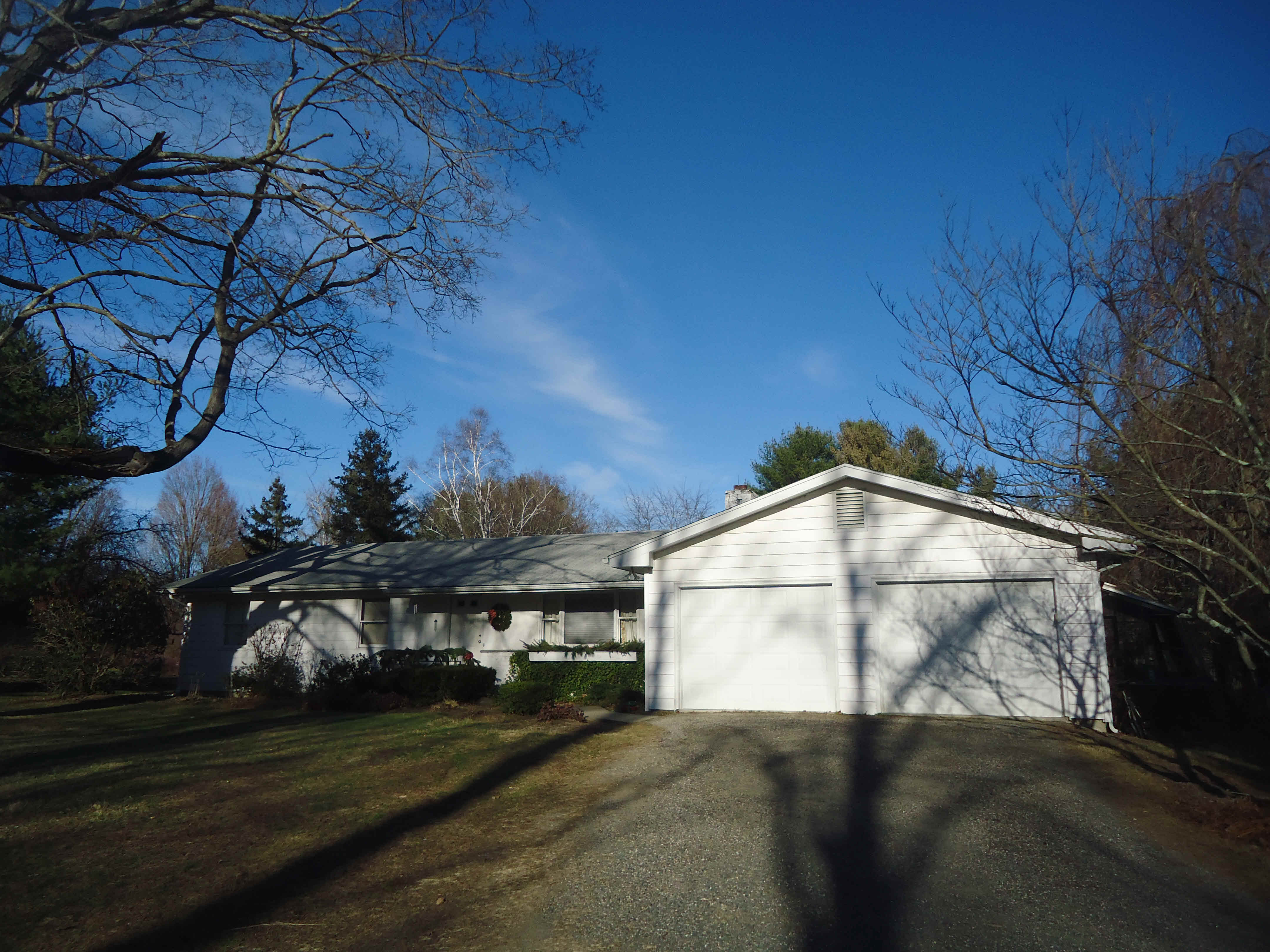
- Style
- Ranch
- Year built
- 1969
- Living area
- 1,652 sqft · 1.0 story
- Exterior
- Clapboard
Recorded sales
Jul 20, 2001
— BROWN COLIN N & SHARON A
Bk/Pg 0053/1063
Jun 16, 1989
— MEISSNER RUTH
Bk/Pg 0033/1008