Assessed value
$304,900
$199,100 bldg · $105,800 land
Acreage
1.87 ac
$163,048 / ac
Land use
107
RR2
Year built
1968
2,052 sqft
Building
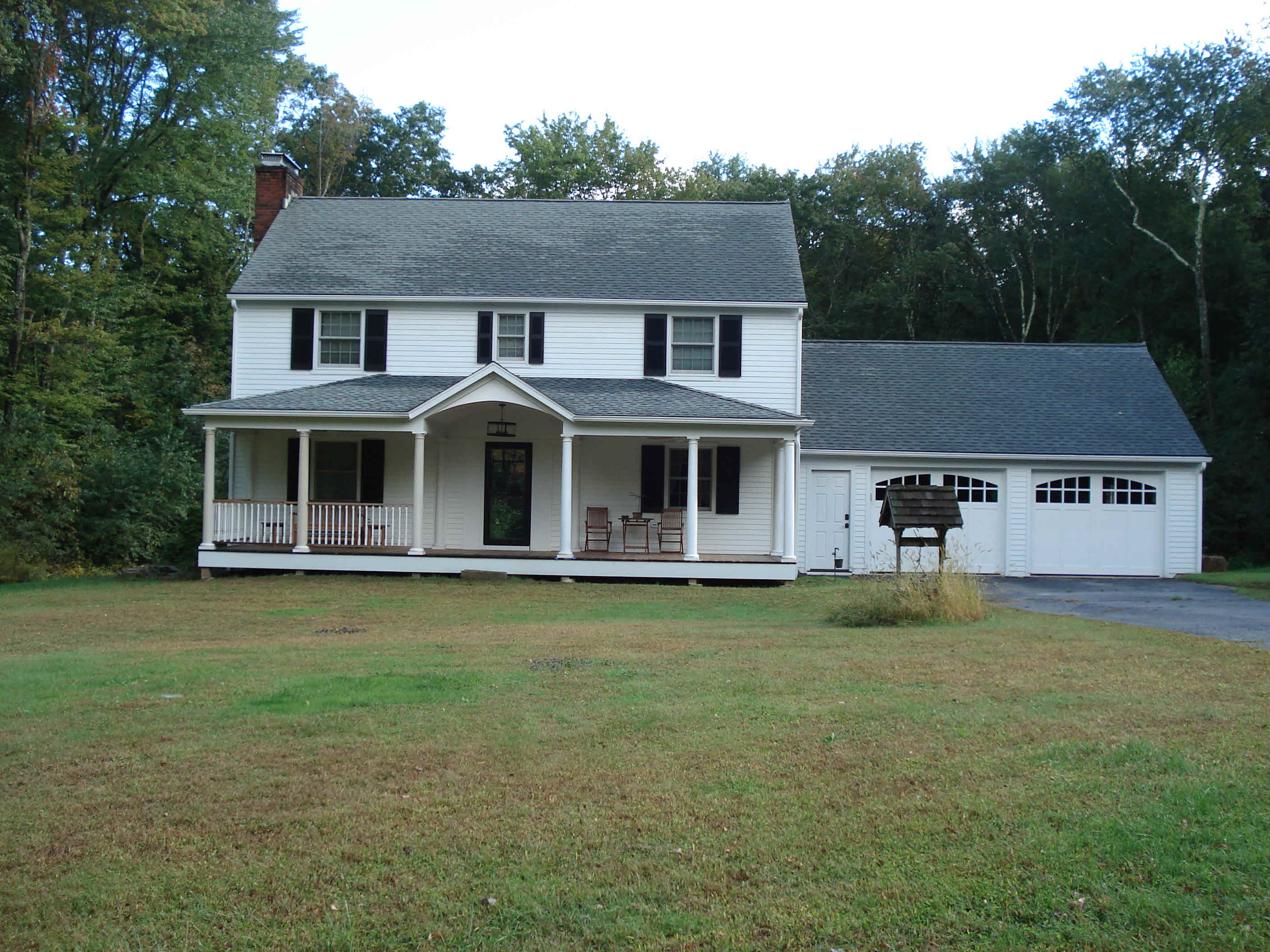
- Style
- Colonial
- Year built
- 1968
- Living area
- 2,052 sqft · 2.0 stories
- Exterior
- Clapboard
Recorded sales
Jul 15, 2011
— ROTTER RONALD R JR AND
Bk/Pg 0078/0833
Feb 2, 2005
— STEVENS SETH; STEVENS MATTHEW
Bk/Pg 0066/0383
Dec 23, 1991
— STEVENS LUISE G
Bk/Pg 0037/0176
More on Millvoe Dr
8 MILLVOE DR
$306,400 · 1.95 ac · Built 1965
9 MILLVOE DR
$595,300 · 2.65 ac · Built 1969
14 MILLVOE DR
$484,800 · 1.9 ac · Built 1996
19 MILLVOE DR
$284,100 · 1.58 ac · Built 1969
29 MILLVOE DR
$262,500 · 1.95 ac · Built 1971
30 MILLVOE DR
$279,800 · 1.56 ac · Built 1968
36 MILLVOE DR
$230,300 · 1.27 ac · Built 1967
39 MILLVOE DR
$305,700 · 1.68 ac · Built 1986