Assessed value
$275,200
$166,300 bldg · $108,900 land
Acreage
2.07 ac
$132,947 / ac
Land use
101
RR2
Year built
1972
2,312 sqft
Building
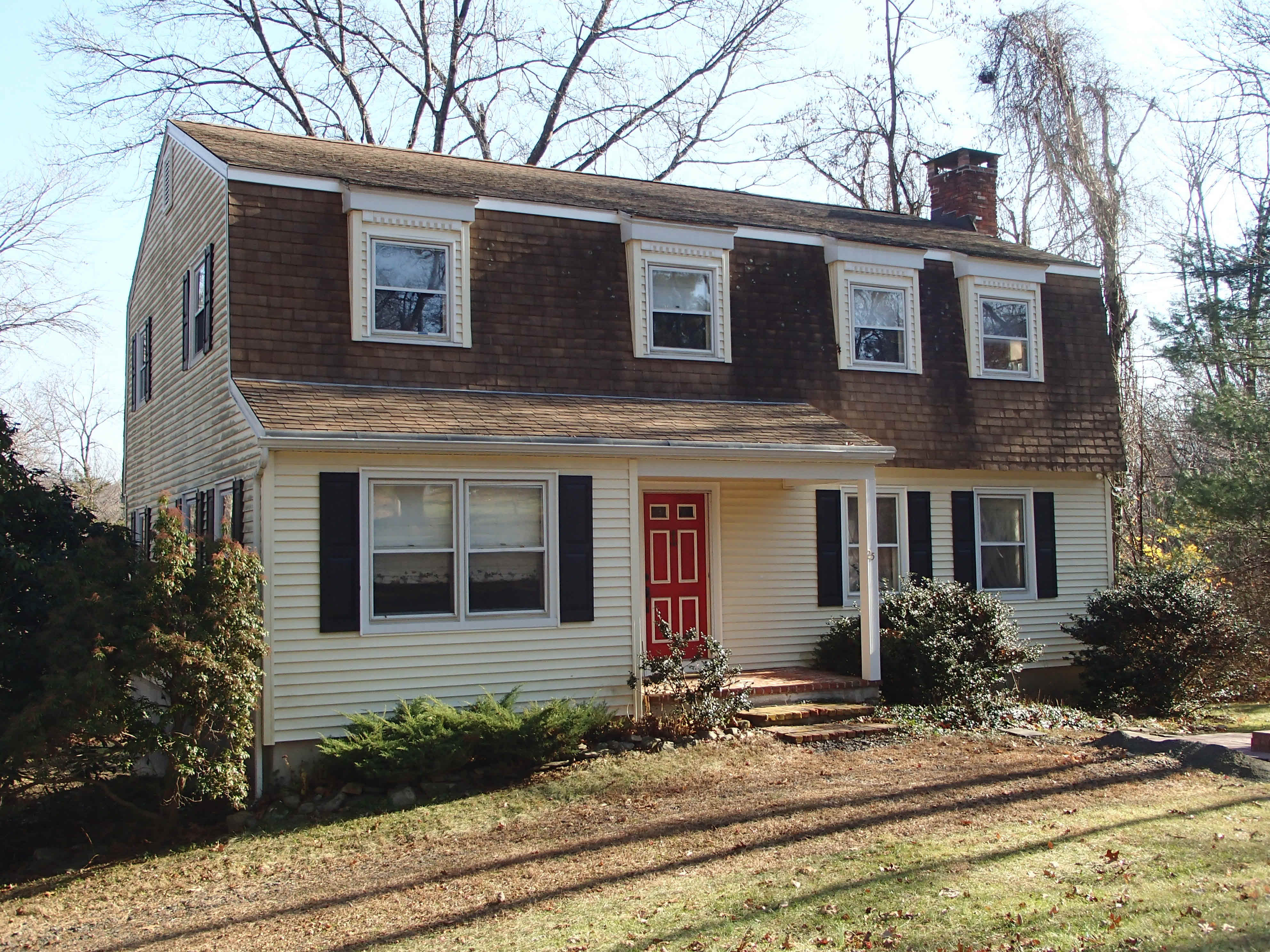
- Style
- Colonial
- Year built
- 1972
- Living area
- 2,312 sqft · 2.0 stories
- Exterior
- Vinyl Siding
Recorded sales
Nov 14, 2022
— DUNLEAVY DOUGLAS &
Bk/Pg 0094/0828
Jan 9, 2020
— DAVISON DAVID O
Bk/Pg 0090/0252
Aug 12, 1968
— DAVISON DAVID O & LINDA S
Bk/Pg 0017/0423
More on Canfield Dr
1 CANFIELD DR
$438,900 · 1.12 ac · Built 1998
14 CANFIELD DR
$403,000 · 1.03 ac · Built 1973
15 CANFIELD DR
$234,200 · 2.04 ac · Built 1964
19 CANFIELD DR
$298,100 · 1.68 ac · Built 1974
28 CANFIELD DR
$297,300 · 1.38 ac · Built 1967
34 CANFIELD DR
$406,000 · 1.19 ac · Built 1965
35 CANFIELD DR
$305,100 · 1.85 ac · Built 1971
40 CANFIELD DR
$435,500 · 1.22 ac · Built 2004